-
The
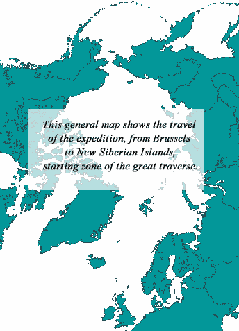
map Brussels - Starting point
This map shows the itinerary of the travel of the Expedition from
Brussels to the New Siberian Islands. Numerous geographical names
of the Arctic zones (sees, straits, etc.) that one has learned
once in the past.
Size : 620/840 px
71 KB
-
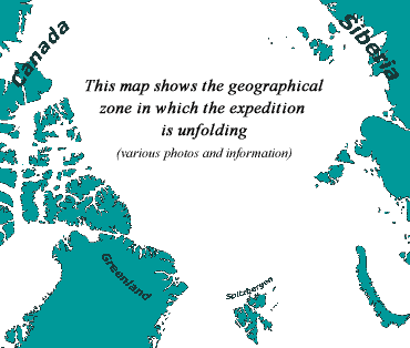
A general
map of the Arctic Ocean With the route the Expedition will
follow and also some superb photos related to different cities
and islands located on the border of this gigantic ice pack.
One can display the two map zones (due to the lenght of the
itinerary, one was not enough) in which the expedition will
unfold.
Size 850/748 px
232 KB
-
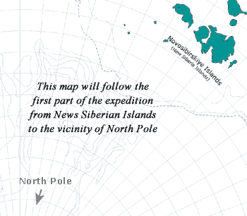
Progression
Map n°1, New Siberian Island -> North Pole vincinity.
On this map, we follow day by day the progression of the pair
Hubert - Dansercoer (from February to mid-April probably).
Size
850/748 px
51KB
-
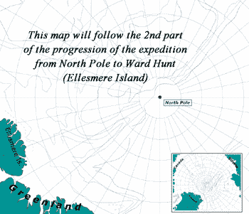
Progression
Map n°2, North Pôle -> Ward Hunt (Ellesmere Island).
On this map, we follow day by day the progression of the pair
Hubert - Dansercoer (from mid-April to June).